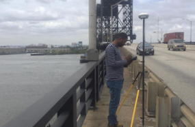
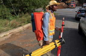
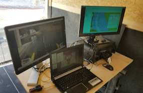
With multiple licensed surveyors fully on board, HHLS meets your surveying needs in line with your schedule. Our range of service is diverse spanning major areas of hydrological and land surveying.

What we do at Harry Hydrographical and Land Services (HHLS)
Hydrographical Survey
HHLS provides bathymetry data that are used for flood control, dock and harbor engineering, water power, dredging projects, locate and map submerged obstructions, beach re-nourishment and monitoring, irrigation, sewage disposal, oil and gas exploration among others.
LiDAR Survey
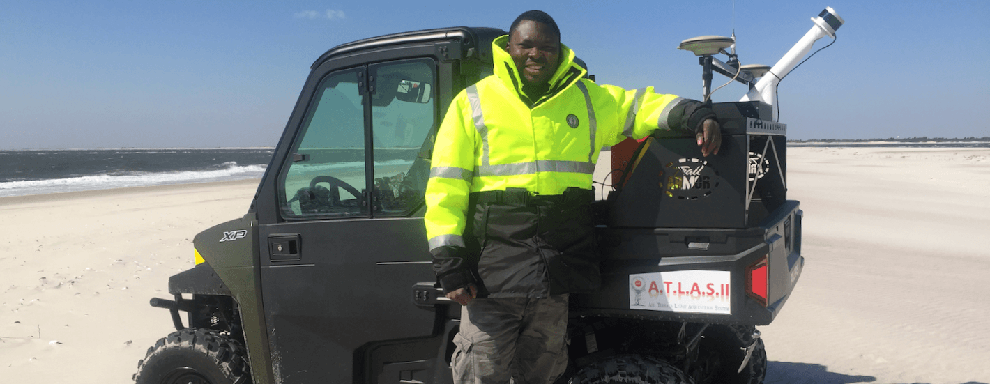
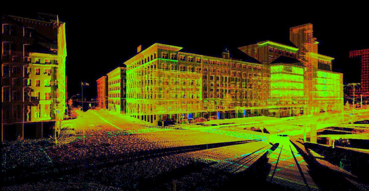
HHLS has the capability to produce quality map data that can be used for management of coastline, transportation planning, jetty monitoring, flood model, oil and gas exploration, view-shed analysis, sewer and manhole survey, tunnel surveying, railway infrastructure and beach survey.
3D Laser Scanning
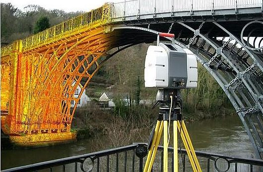
With our 3D laser scanning services, whatever your eye sees can be measured to millimeter accuracy in only minutes. High-speed, non-contact 3D measurement devices collect – at lightning speed – high-resolution, panoramic images of the environment and objects near the scanner.
Transportation Surveying
With our professionals and technological equipment’s like Total station,RTK GPS, LiDAR , Sonar, HHLS has the capability to provide data that will help engineers in design and maintenance of land, rail and water transportation system. The service we provide include Initial survey from design, setting out and as-built survey of a completed project.
Conventional Land Surveying
HHLS land surveying professionals can quickly and accurately collect, process and plot the specific data necessary to make your project a success. From electric transmission and distribution to pipelines and highways, we collect data that help our clients plan, build and maintain critical and sustainable infrastructure.
Geospatial Asset Management and Solution
HHLS offers state-of-the-art data collection methods and solutions that provide accessible data and result in effective geospatial asset management. From our toolbox of data collection technologies, HHLS employs the most appropriate data collection method for your project.
About Us
HHLS is an established surveying firm in Nigeria with demonstrated capability to provide due diligence, design, and construction support services for land and hydrographical projects throughout Nigeria and in neighboring countries.
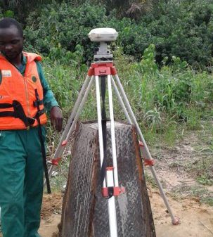
We are on a mission to provide service with high accuracy and precision to our clients using latest technology and competent personnel
Read moreOur Equipment
- DUAL FREQUENCY SINGLE BEAM SONAR
- MULTIBEAM (UHR CAPABILTY) SONAR
- SIDE SCAN SONAR
- INTERFEROMETRIC SONAR SYSTEM
- TOTAL STATION
- LIDAR SYSTEM
- DRONE SYSTEM
- SOUND VELOCITY DEVICE (CTD AND DIRECT MEASUREMENT)
- SUB BOTTOM PROFILER
- RTK GPS
- TOTAL STATION
- TIDE GUAGE
- ANALOG AND DIGITAL LEVEL
Need Our Services?
If you would like to discuss your surveying needs with us, we would be glad to listen. Please reach out to us to schedule a session by using the button below
Contact Us